Glanton Weather Records
An archive of data collected and compiled from a private met station situated in the village of Glanton in the county of Northumberland. UK.
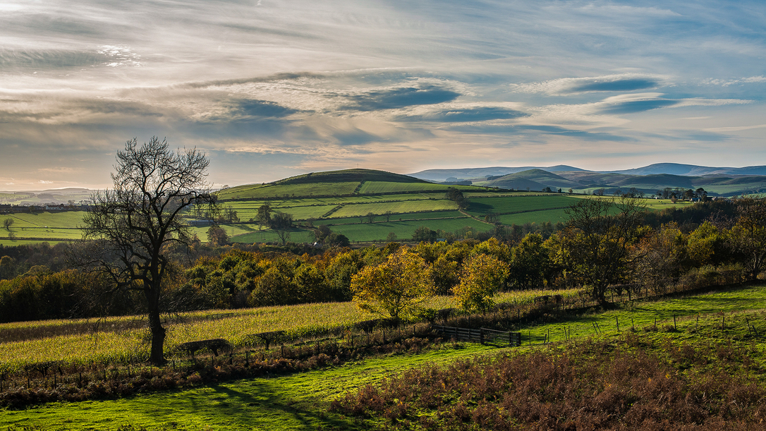
The station is situated at 139 metres above sea level at 55deg 25min 29sec N and 1deg 53min 30sec W
The station is setup to record met data at the surface and therefore reflects the effect of the local topography and the built environment.
The weather records reflect what people living in the village and close to the met station experience.
The weather data is collected and presented in graphical and tabular form as recommended by NOAA - The National Oceanic and Atmospheric Administration (US).
Data is collected every 30 minutes and consolidated into a daily report which is then included in the archived monthly report that is available on this site.
The data collected includes temperature, pressure, rainfall, wind speed and direction.
The records were initiated on the 1st August 2015.